ArcGIS REST Services Directory Login

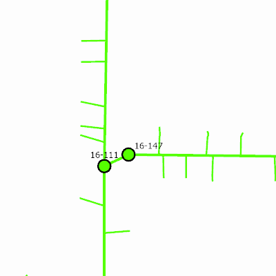
Export Map (Sanitary_2024)

Export Image Width: 400
Height: 400
Extent:
    XMin: 817791.175595801
    YMin: 387426.4370131165
    XMax: 818129.5351013053
    YMax: 387764.79651862086
    Spatial Reference: PROJCS["NAD_1983_HARN_WISCRS_Fond_du_Lac_County_Feet",GEOGCS["GCS_North_American_1983_HARN",DATUM["D_North_American_1983_HARN",SPHEROID["GRS_1980",6378137.0,298.257222101]],PRIMEM["Greenwich",0.0],UNIT["Degree",0.0174532925199433]],PROJECTION["Transverse_Mercator"],PARAMETER["False_Easting",802999.999],PARAMETER["False_Northing",0.016],PARAMETER["Central_Meridian",-88.5],PARAMETER["Scale_Factor",1.0000286569],PARAMETER["Latitude_Of_Origin",42.71944444444445],UNIT["Foot_US",0.3048006096012192]],VERTCS["NAVD_1988",VDATUM["North_American_Vertical_Datum_1988"],PARAMETER["Vertical_Shift",0.0],PARAMETER["Direction",1.0],UNIT["Foot_US",0.3048006096012192]]


Scale: 974.4753758525849
Historic Moment:
Background Transparent: